Grassrivers
Subtropical wetlands — airboats, alligators, stilt villages and hideouts buried in sawgrass.
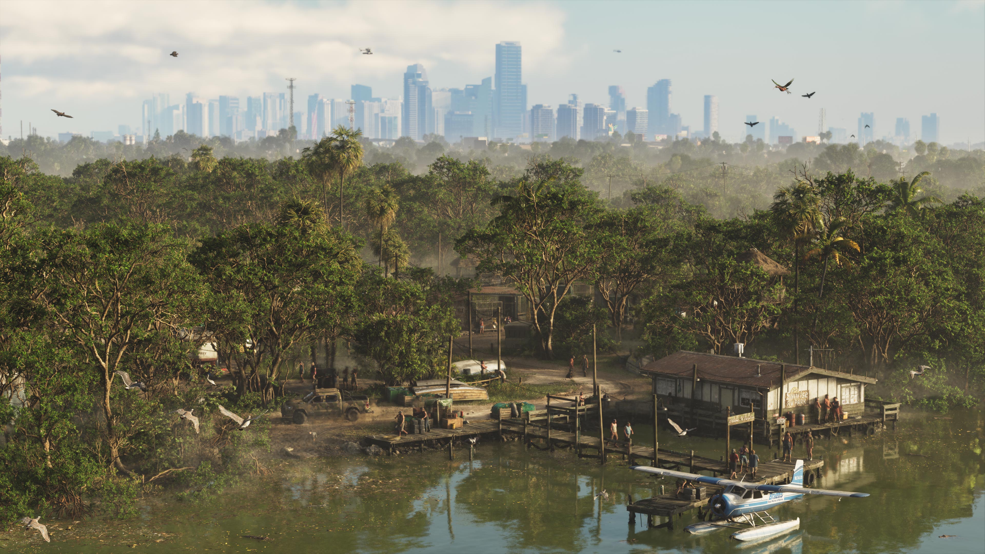
Real-world inspiration: The Everglades. Official screenshot, Rockstar Games.
Grassrivers is Leonida's Everglades: an untamed wetland belt where the road network thins out and airboats take over. Official screenshots released with the pre-order push show stilt structures, sawgrass, and water that goes on for miles.
This is the region that makes the “no loading screens” claim matter. A chase that starts on Vice City asphalt can end in swamp, which is also why the six-star / hollow-star wanted system is a bigger deal than a UI tweak — the map itself is the cover.
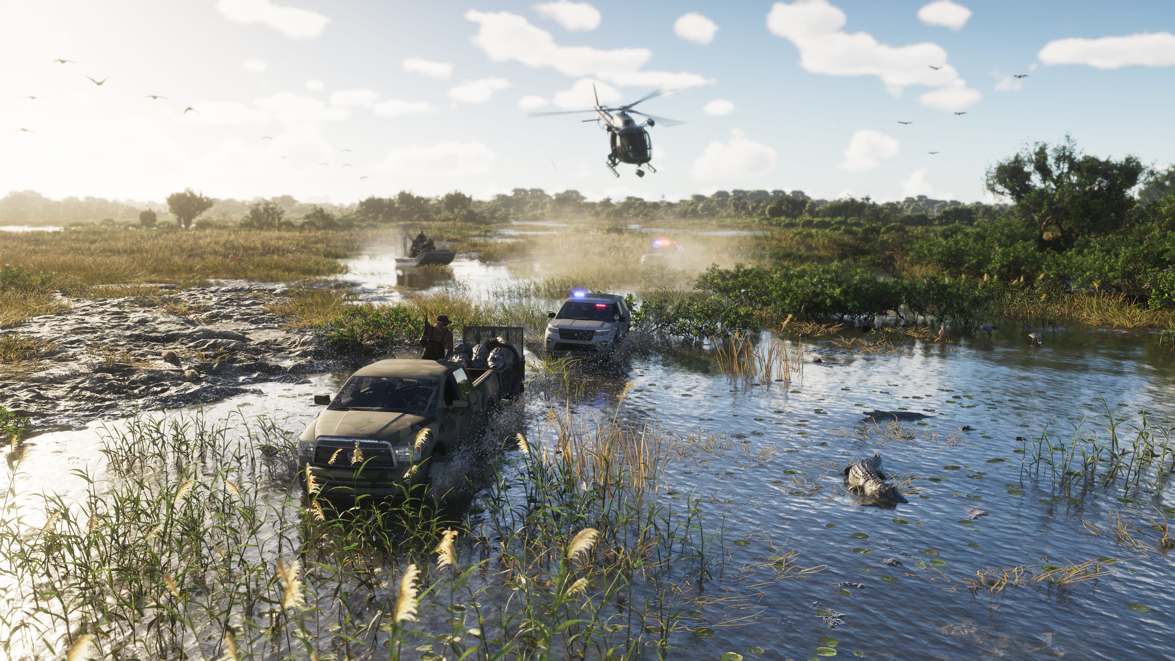
The real Leonida behind Grassrivers
Vice-Dale County and Mariana County. The Everglades — Marjory Stoneman Douglas's 'River of Grass': sawgrass prairie, mangrove, and standing water that reaches the horizon.
Districts and areas
- Sunrise RV Park
- Watson Bay
Places to find in Grassrivers
- Airboat launches where the paved roads run out
- Stilt houses and fishing camps in the sawgrass
- 'Energy in the Grassrivers' interpretive signage (seen in the 2022 leak)
Every mapped point in this region is on the interactive GTA 6 map — filter by category or search a name.
Who runs Grassrivers
- Off-grid residents and swamp hideouts
- Whoever needs a body of water between themselves and Vice City police
Getting around
A thin causeway road network · Airboats as the real transport layer
Wildlife: Alligators, Large flamingo flocks, Clouds of mosquitoes (per in-game text).
Related
- Region: Vice City — Miami, Florida
- Region: Leonida Keys — The Florida Keys
- Character: Jason Duval — Protagonist
- News: GTA 6 Extended Look: 26 minutes of official gameplay
- News: GTA 6 Trailer 2 and the character reveal
- News: GTA 6 Trailer 1 breaks YouTube records
- News: The 2022 GTA 6 leak, and how much of it was real
Sources and confidence
Rockstar's 'untamable jewel' / 'Welcome to the Wetlands' copy and the airboat footage are official. Named sub-areas and the signage detail are community mapping, including material from the September 2022 leak.
Back to all six regions, the interactive map, or the GTA 6 Atlas home page. Official region text: Rockstar’s GTA VI site.